
The AFNOR standard NF Z 10-011 and the six-line postal format impose a strict hierarchy between locality, street, and address complement. Confusing these three components leads to rejections in automatic sorting, NPAI returns, and geocoding errors in the National Address Database. Here we detail the technical distinctions that structure each field.
Six-line postal format: where each address component is placed
The format used by La Poste assigns a specific role to each line, with a maximum of 38 characters per line. Line 1 contains the recipient’s identity. Lines 2 and 3 are dedicated to location complements (apartment, entrance, building, distribution service). Line 4 contains the street number and name. Line 5 is reserved for the locality or geographical complement. Line 6 holds the postal code and locality.
This breakdown is not arbitrary. Optical sorting machines read line 6 first to route the mail to the distribution center, then move up to line 4 to identify the mail carrier’s route. Lines 2, 3, and 5 are only used for final delivery, the last mile.
We observe that most online forms merge these lines into two or three free fields, which generates inversions. The building number ends up on the street line, the locality disappears, or the address complement absorbs the name of the municipality. Each component has a technical function in the sorting chain, and we recommend respecting this hierarchy even when the form interface seems permissive.
To delve deeper into these distinctions and see concrete examples of input, you can read more by address in a dedicated guide on the subject.
Locality, postal code, and municipality: three often confused concepts
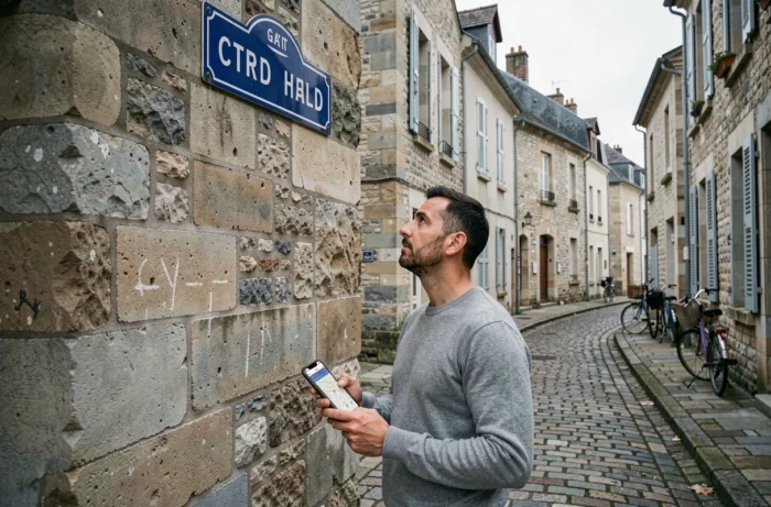
The postal locality does not always correspond to the administrative municipality. After the wave of municipal mergers (new municipalities), a single postal code can cover several delegated municipalities, and a single municipality can have multiple postal codes. The locality refers to the postal distribution label, the one that La Poste uses to identify the distribution office.
In line 6 of the postal format, the postal code is written followed by the locality in uppercase unaccented letters. This line is the only one that is systematically read by automatic sorting. Any error here (inversion of municipality, incomplete postal code) results in an immediate rejection.
A common pitfall concerns localities. When a rural municipality has named its streets (a requirement from the law of February 8, 2022), the locality should no longer appear in line 6. It migrates to line 5 as a geographical complement, while the locality remains the name of the municipality associated with the postal code. Placing the locality in the locality field prevents geocoding in the BAN and distorts GPS results.
Street name and street type: the rules for line 4
Line 4 contains the number in the street, any repetition index (bis, ter, quater), and the complete name of the street. The type of street (street, avenue, path, dead end, square) is an integral part of the label. Removing or abbreviating the street type degrades the recognition rate in sorting.
Standardized abbreviations exist (R for street, AV for avenue, BD for boulevard), but they are only recommended when the line exceeds 38 characters. In all other cases, we recommend the full label.
- The number always precedes the street type, without a comma or period: “12 rue des Lilas”, never “rue des Lilas, 12”.
- The repetition index (bis, ter) is placed immediately after the number, in lowercase: “12 bis rue des Lilas”.
- Streets without numbers (roundabouts, intersections, certain localities) are managed in the Local Address Database with the conventional number 99999, which means “street without address” and is never printed on the mail.
For private streets open to public traffic, the 3DS law confirmed that the municipal council holds exclusive naming authority. The official label appears in the Local Address Database of the municipality, and this label must be used in line 4.
Address complement: lines 2, 3, and 5 of the postal format

The address complement actually covers three distinct lines. Lines 2 and 3 describe the internal location (apartment, floor, corridor, staircase, building, residence). Line 5 describes the complementary external location (locality, hamlet, post office box, industrial zone).
Merging this information into a single “address complement” field forces a choice about what takes precedence. We recommend this hierarchy:
- The residence or building first, as the mail carrier identifies the group of buildings first.
- The staircase and floor next, for mailbox distribution.
- The locality last, on line 5, only when it provides geographical information missing from the street name.
Since the mandatory naming of streets, the locality can appear as a toponym in the BAN even when the street is named. This is an operational usage for hamlets where several streets intersect: the locality helps the delivery person orient themselves without replacing the standardized address.
A well-filled address complement reduces NPAI returns and speeds up fiber connections, emergency interventions, and package deliveries. France still has several hundred thousand unnumbered streets and many households without precise addresses, making the rigorous completion of each line even more crucial for the logistics chain.